
 11
11
Unmanned Aerial Vehicle (UAV) surveying has transformed how professionals gather and examine land information across large areas. These technologies provide precise aerial perspectives, reducing fieldwork time and improving project accuracy. Organizations seeking accurate mapping solutions should adopt UAV surveying immediately to improve operational efficiency.
Recent developments in professional surveying and mapping in Montana allow detailed terrain analysis across urban and remote areas. High-resolution imagery captures precise surface data, delivering important insights for engineers, planners, and surveyors. Georeferencing these datasets ensures every survey matches established coordinates, reducing errors. These methods limit human mistakes while accelerating project timelines and producing actionable datasets consistently.
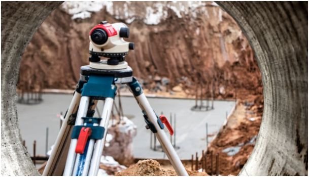
Survey teams improve accuracy using Unmanned Aerial Vehicles with advanced mapping software. Detailed aerial surveys capture elevation, vegetation, and surface changes. Topographic modeling, Climate Risk Mapping, and geospatial tools provide precise, repeatable measurements for informed project decisions across multiple sites in Montana.
High-resolution UAV sensors detect elevation changes, vegetation, and surface variations across survey areas. LiDAR scans produce precise surface models, guiding engineers and planners in accurate design decisions. Teams use imagery to reduce errors and support detailed planning.
Mapping software converts aerial imagery into actionable terrain datasets for projects in Montana. Analysts visualize complex landscapes clearly, supporting accurate planning and evaluation. Orthomosaic images improve understanding and help identify potential issues efficiently.
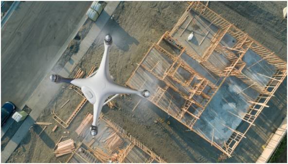
UAV-assisted surveys provide highly precise topographical models that support construction and development projects. Professionals examine slope gradients, elevation variations, and potential construction areas carefully. Accurate datasets guide foundation placement, utility planning, and site design, preventing errors and unnecessary costs.
Engineers consult aerial data to allocate resources effectively and anticipate project challenges. Continuous monitoring ensures adjustments match project plans while maintaining safety standards. Teams gain confidence using detailed information to guide key planning decisions efficiently.
Using UAV technology lowers operational costs associated with traditional ground surveys and manned aerial flights. Fewer personnel and vehicles are needed, reducing labor and travel expenses significantly. Decreased maintenance and operational demands allow budgets to support other essential project activities.
Rapid deployment ensures surveys are finished on schedule, preventing delays in project timelines. Each project benefits from accurate data, improving cost efficiency while maintaining high-quality results consistently.

Unmanned Aerial Vehicle technology speeds surveys over large areas, reducing fieldwork while maintaining data precision. Immediate access allows teams to analyze results efficiently, focus on essential tasks, and produce accurate insights supporting the evaluation of extensive regions in Montana.
UAVs survey large areas quickly, ensuring precise data collection for every project. Analysts access imagery immediately, accelerating analysis and reporting, and getting Home Building Permits and Requirements accordingly. Photogrammetry allows accurate measurement of distances and areas, supporting timely planning across all sites.
Collected data integrates with mapping platforms, producing consistent results for all project stages. Surveyors focus on analysis instead of repeated fieldwork, improving productivity. Streamlined workflows reduce delays and enable effective management of multiple projects in Montana.
UAVs provide clear insights into ecosystems, waterways, and vegetation across surveyed areas. Frequent aerial updates let professionals track environmental changes while meeting regulatory requirements. Multispectral sensors detect subtle variations in natural resources, allowing precise ecological assessments.
Collected data informs conservation strategies and identifies areas that require effective protection. Teams use these findings in planning processes responsibly, maintaining accurate records for long-term environmental management.
Organizations seeking better land assessment should adopt professional surveying and mapping in Montana immediately. UAV-assisted surveys provide precise results, rapid analysis, and datasets that support accurate decision-making.
Construction projects, environmental studies, and land development benefit from aerial data consistently. Implementing these solutions reduces human errors, improves resource allocation, and accelerates project timelines efficiently. Take action now to integrate UAV surveying into mapping workflows for the most effective results.